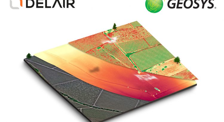
Delair and Geosys, a leader in satellite and weather data analytics for agriculture, announced a partnership aimed at expanding the options for gathering and analyzing data for enhanced crop inputs placement, seed production and crop monitoring practices. This partnership will deliver a single analytics platform with seamless integration of high-value drone and satellite data to better meet the needs of today’s precision agriculture users.
Both companies have a proven track record in helping agriculture companies improve operational efficiencies and increase profitability. Initially, the two companies will offer an integrated solution to help ag professionals with variable rate fertilization management. France will be the first market to benefit from this enhanced service through the Cerelia® platform – a precision agriculture platform offered by Geosys in France to more than 40 coops and Ag services providers. The new partnership leverages the capabilities of Delair’s fixed-wing UX11 Ag drone, a specialized crops mapping drone capable of onboard data processing and precise geolocation of maps, equipped with wireless and 3G/4G communications.
Delair and Geosys look to extend their offering to other applications such as weed control, real-time field behavior and performance analysis, and identification of yield improvement opportunities. The powerful Delair.ai platform manages, analyzes and shares aerial data – a solution proven to be a highly efficient and accurate for collecting plant aerial intelligence. The integration with Geosys will allow the addition of satellite and weather data to bring enhanced knowledge and analytical capabilities throughout the entire crop cycle. This partnership will also benefit from the upcoming UrtheDaily™ Constellation, a planned global coverage constellation aiming to acquire high-quality, multispectral imagery, at 5-m GSD, taken at the same time, every day, every field. By combining these high-precision data sources, users will be empowered to make faster, smarter decisions about their operation.
Additionally, the combined offering can aid in accurate seed production monitoring and forecasting, which lowers logistics costs and markets risks. With the data and decision support tools available, users can quickly evaluate which fields need their attention, where they should focus their scouting efforts and identify the probable causes of crop growth anomalies.
“Today’s precision agriculture practices require comprehensive and accurate data from which meaningful insights can be derived. The combination of Delair’s flexible and high-performance visual intelligence platform with our powerful analysis and decision support tools can have a significant impact on the performance and profitability of agriculture operations,” said Matthieu Hyrien, vice president of business development at Geosys.
“Supporting satellite data analytics is a significant addition to our agriculture solution and gives us a foundation to incorporate satellite data for other industries’ use cases,” said Lénaïc Grignard
Agriculture and Forestry Product Manager at Delair. “From field trials to seasonal analysis to day-to-day monitoring and adjustment of crops practices, aerial-based data intelligence saves time and money to the ag stakeholders. We’re excited to be able to combine our respective expertise and technologies to improve the efficiency of ag professionals worldwide.”


