Above photo: Janne Hirvonen, Kelluu
The City of Helsinki and its innovation company Forum Virium Helsinki are testing new aerial imaging methods in a pilot program. Kelluu airships are operating in an approximately 100-hectare area in the Ruskeasuo district of Helsinki.
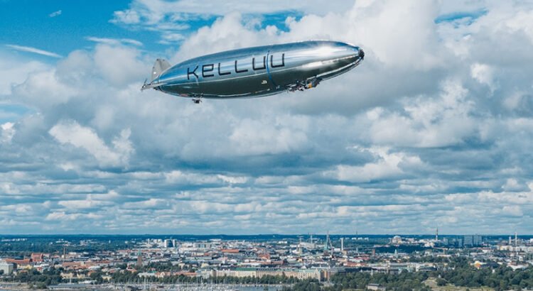
The Finnish technology and airship company Kelluu used its self-developed unmanned, remotely controlled airship to conduct aerial surveys in a pilot which took place in Helsinki’s Ruskeasuo in August.
City Geodesist Tiina Talvitie from the City of Helsinki’s Urban Environment Division states that the ongoing development aims to investigate new aerial imaging methods to streamline production processes and enhance the visual quality of the 3D city model.
The new data produced is intended for diverse testing across various official processes. These include:
- Examining the urban landscape of future building and zoning projects
- Analysing nature-themed data
- Managing city’s infrastructure assets
Traditionally, aerial photography is done from manned aircraft or by a single person operating a drone. The Kelluu airship is programmed to fly its mission autonomously. It can be controlled remotely if needed and is monitored from the ground during surveying.
Autonomous drone based aerial imaging provides a new alternative to traditional methods because it offers more flexible ways to collect data.
Further information on Helsinki 3D City Models: https://www.hel.fi/en/decision-making/information-on-helsinki/maps-and-geospatial-data/helsinki-3d


