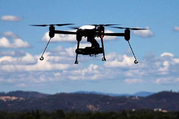
The Federal Aviation Administration (FAA) has published NOTAM FDC 9/7752 that will allow for intermittent airspace restrictions of drones at select federal facilities nationwide. The NOTAM became effective on September 1, 2019.
Pointer NOTAMs will be issued in advance indicating the sites where intermittent airspace restrictions will apply. These sites can also be found via the FAA’s interactive UAS data visualization tool. Through this tool, operators can identify the status of the airspace:
When the airspace restrictions are not in effect;
24 hours ahead of the airspace restriction going into effect; and
When the airspace restriction is active;
The specific activation times can also be viewed by clicking on the individual airspace shapes in the interactive map tool.
Before You Fly
Check Notices to Airmen (NOTAMs) and Temporary Flight Restrictions (TFRs).
Airspace restrictions can be found using the UAS Data tool through the FAA’s Open Data Initiative. The tool provides an interactive airspace map, downloadable geospatial data, and other important details to ensure awareness of airspace restrictions.
Pilots are urged to check NOTAMS and TFRs frequently, especially when operating near or within the defined airspace to which restrictions are applied.
Information regarding flying drones in the National Airspace System, including frequently asked questions, is available on the FAA’s UAS website.


