DroneSense and MatrixSpace have partnered to accelerate the safe expansion of beyond visual line of sight (BVLOS) drone operations for Drone as First Responder (DFR) programs.
The integration brings MatrixSpace Radar’s real-time object detection and airspace awareness capabilities directly into DroneSense Remote (DSR), the leading operational software platform for public safety drone missions. This enables radar tracking across urban and rural settings enhancing safety, responsiveness and mission success.
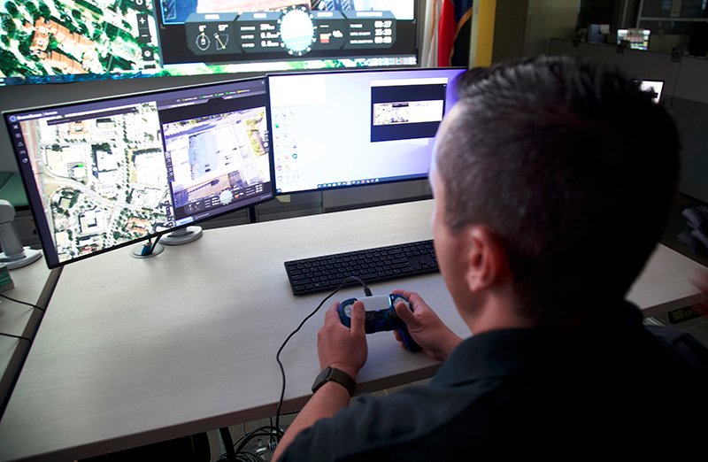
MatrixSpace Radar delivers affordable, AI-powered situational awareness in all conditions, including low-light and low-visibility environments. With AiEdge software for real-time classification and expandable centralized sensor fusion, agencies can scale DFR operations confidently.
“DroneSense is committed to building an open ecosystem that incorporates the best available drone hardware and detect-and-avoid (DAA) technologies,” said Aydin Ghajar, Chief Operating Officer at DroneSense. “This integration with MatrixSpace represents the first of several partnerships to unlock BVLOS operations for public safety agencies. By bringing real-time radar awareness into our OpsHub interface, we’re enhancing both mission execution and safety.”
This capability has already supported some major milestones:
- Palm Springs Police Department (PSPD) expanded its Drone as First Responder (DFR) program, establishing the largest first responder agency coverage area (37 square miles) monitored by radar sensors instead of humans in the United States.
- Campbell Police Department (CPD) became the first law enforcement agency in California to receive FAA authorization for single-operator BVLOS missions under a Part 91.113(b) waiver using radar instead of human visual observers. The waiver enables safer and more effective drone operations, even during night or adverse weather conditions.
“The partnership between two exceptional technologies—DroneSense and MatrixSpace—is a game-changer,” said Chief Charles L. Werner (Emeritus-RET), Director of DRONERESPONDERS Public Safety Alliance. “It delivers critical situational awareness to real-time crime centers, fusion centers, and command staff through a single mission platform.”
As more public agencies, regional consortiums, and critical infrastructure providers turn to drones for real-time intelligence, the integration of ground-based radar is essential to scaling safe and effective BVLOS operations.
“DroneSense is leading the charge in advancing operational best practices and technology for public safety,” said Lori DeMatteis, Chief Revenue Officer at MatrixSpace. “Together, we’re delivering a turnkey radar and software solution that supports next-generation airspace awareness, including nighttime and low-visibility BVLOS operations.”