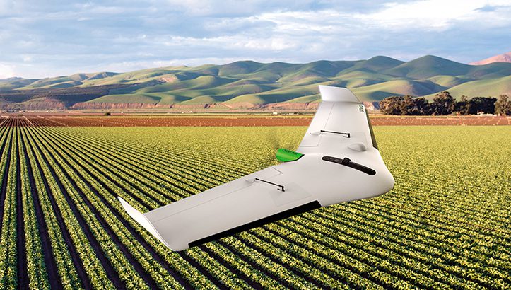
Delair, has announced the interoperability of high-precision data acquired from the Delair UX11 drone with version 5.0 of the Trimble Business Center software. The integration enables geospatial professionals to simply drag and drop Delair UX11 PPK data directly into Trimble Business Center projects. Users can combine the high-quality flight data with other sensor data to rapidly create vivid orthomosaics and highly accurate surface models.
The collaboration builds on a long-standing relationship between the two companies that includes Delair’s acquisition of the Gatewing UAS business from Trimble in 2016.
Enhancing the interoperability with the Delair UX11 simplifies the process for geospatial professionals to incorporate UAS data into their existing Trimble Business Center workflows. Data is seamlessly combined into a single software platform, providing a consistent and comprehensive set of capabilities to generate end client deliverables for land surveying, mining, construction and GIS applications.
“We have a long and proven track record of working with Trimble and its comprehensive solutions for geospatial professionals. The integration of data from the Delair UX11, which has its roots within Trimble and the Trimble Business Center workflow, is a natural extension of our relationship, delivering the most complete and efficient UAS solution for mapping and survey customers,” said Chase Fly, Geospatial Product Manager at Delair.
Since Delair’s acquisition of Gatewing, Delair has been a Trimble preferred provider of fixed-wing UAS solutions for geospatial, with more than 70 mutual distributors worldwide who continue to provide and support a complete end-to-end workflow for improved efficiency and productivity.
The Trimble Business Center v5.0 JXL file format interoperability streamlines the processing of high-precision drone data. The enhanced JXL file supports high-precision horizontal and vertical locations plus accuracy estimates for the PPK positions as well as the precise lever-arm offset (measurements of the distance between the GNSS antenna and camera on the drone). This high-precision data is available with the Delair UX11 PPK, Delair After Flight v6.0.7 and Trimble Business Center v5.0.