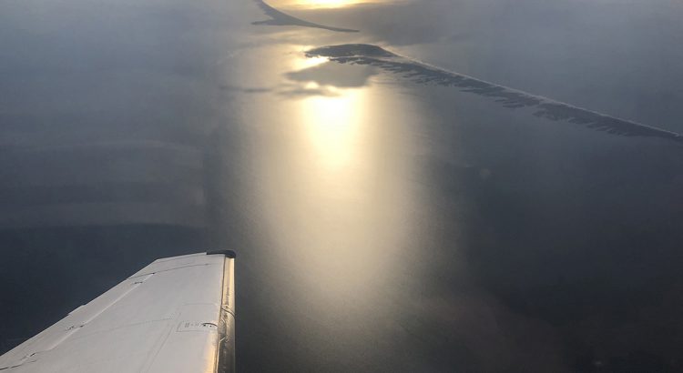
A multi-flight project photographing the seagrass meadows below the surface of the water along the Outer Banks was completed recently by the North Carolina Department of Transportation (NCDOT) Division of Aviation.
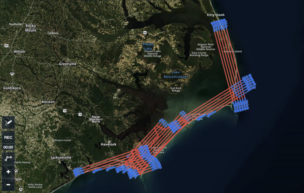
The project was initiated and funded by the Albemarle-Pamlico National Estuary Partnership. The team took photos along the coast from Kitty Hawk to Jacksonville to allow scientists to compare past and eventually future pictures to determine the health of the seagrass and how it is changing over time.

This is not an easy process with multiple things to consider. “All the stars have to align,” said Bobby Walston, Division of Aviation Director. “Weather, visibility, time of day, water clarity, tide – all of these elements must be considered for a successful mission.”
The Division owns and flies a Beech C-90 King Air (shown at left) for all of its photogrammetry. For Fiscal Year 2019 (July 1, 2018 – June 30, 2019) the Division completed more than 180 photogrammetry missions putting 185 hours on the aircraft.

For this fiscal year (July 1, 2019 – May 30, 2020) the Division has completed 70 missions, putting 99 hours on the aircraft. Walston pointed out that the peak of photogrammetry missions and flights are during the winter and early Spring weeks when leaves are not on the trees. “COVID-19 certainly cut into our numbers for this year.”
Although the total number of flights, including passenger, have been down this year due to the coronavirus, Walston is hopeful that it will pick up soon. The Division’s flight department consists of three pilots, a flight manager, a mechanic and a flight scheduler.