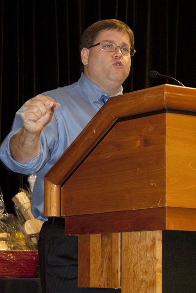
At the 2011 NASAO Convention, Kansas DOT Aviation Director Ed Young (Shown at right) demonstrated how the  Kansas Airspace Awareness Tool (KAAT) is used to educate and increase awareness of the “imaginary” air surfaces around public-use airports and to help determine if temporary or permanent structures might become dangerous airspace obstacles.
The web-based tool, developed in partnership with consulting firm Burns & McDonnell, combines visual data available from the FAA, USDA, DigitalGlobe, and Google® Earth and then creates a three-dimensional simulated image of objects within a defined area. This tool, said Young, will depict proposed structures and their proximity to airport airspace to assist developers in choosing appropriate locations for such things as wind turbines. It also helps airports explain airspace issues and how economic development and airspace protection can work in concert. . The tool displays data based on different airport requirements, including generalized TERPS, Part 77, vertically guided airspace (VGAS), military airspace, and other special uses.
Without the graphical depiction of the tool, municipalities might not realize that they have approved the construction or placement of airspace obstructions, said Young. For example, a construction crane might seem to be a reasonable distance from the airport on a two-dimensional map; however, the KAAT may display a potential vertical breach of the takeoff or final approach path and then it becomes obvious that the crane will adversely impact traffic near that airport.
Working with planners, Young said, helps airports and communities maintain a safe environment near the airport. For example, a local business might request a permit to construct wind turbines on a site that is outside of but near the local airport’s takeoff and landing approach. The KAAT allows the user to plot the turbines at their proposed site and height, and can make the planners aware of the interaction between the objects and the airspace.
Builders should be aware of the impact their structure—even a grain silo on a farm, for example—might have on the airport. Young said that KAAT has been used during the permit process to help contractors plan their projects responsibly. The KAAT has proven to be more than a great technological achievement, but also a useful tool in evaluating airspace issues across the state.
The tool could be used in other states to help foster cooperation between airports and surrounding communities, said Young, and his office provided a webinar to explain KAAT functions and features.


