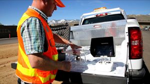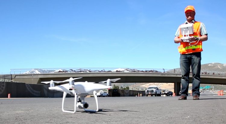
In April 2017, the Nevada Department of Transportation’s Imagery Section launched their Unmanned Aerial Vehicle program, a culmination of 5 years of planning, lobbying, and research, to develop a comprehensive mapping program that would complement their existing manned aircraft services. Since that time, they have successfully executed over 100 UAV missions to support their Hydraulics, Stormwater, Design Engineering, and Construction divisions.
With 2 Part 107 pilots and 2 ASPRS certified mapping scientists, NDOT utilizes both fixed wing and multirotor platforms to generate detailed mapping products, including orthomosaics, point clouds, bare-earth models, volumetrics, and change detection heatmaps.
NDOT’s Imagery Section is comprised of experienced staff members with previous work as military analysts, private industry consultants, and academic researchers. By combining cutting-edge technologies with traditional surveying and photogrammetry techniques, their UAV program has led to quicker final product turn-around times, the ability to map projects that were inefficient for manned aircraft, and lower mapping costs.
In 2018, NDOT looks forward to completing additional research with the University of Nevada, Reno on road quality assessments using thermal imagery, sediment basin change detection from point cloud comparisons, and working together with other academic and industry partners.


