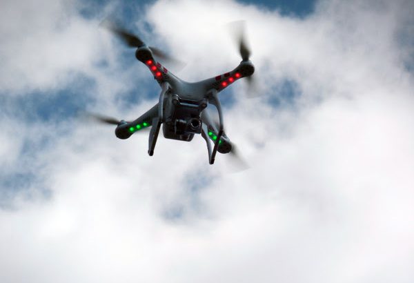
At the request of its federal security partners, the Federal Aviation Administration (FAA) is using its existing authority under Title 14 of the Code of Federal Regulations (14 CFR) § 99.7 – “Special Security Instructions” – to address concerns about drone operations over national security sensitive facilities by establishing temporary unmanned aircraft system (UAS) specific […]
Unmanned Systems
Unmanned Systems





USI Partners with Drone Nerds to Offer Drone Education to Prepare Students for Industry-Specific Sectors
The Unmanned Safety Institute (USI) has partnered with Drone Nerds to provide cost-effective solutions for drone technology and fleet management for USI’s STEAM education programs and collegiate workforce development programs nationwide. USI and Drone Nerds will offer Career Cluster Kits that are designed to provide the technology hardware, sensor, and software being utilized in specific […]
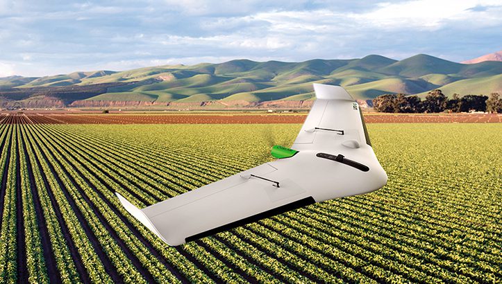
Delair Launches Aerial Intelligence Platform
Delair has unveiled Delair Aerial Intelligence (delair.ai), a comprehensive platform for converting drone-based images into actionable business insights. The new cloud-based solution provides a complete integrated and easy-to-use workflow to manage, analyze and share data, streamlining the process for unlocking the true potential of aerial surveying. Industry-optimized analytics for specific industries and use cases in […]
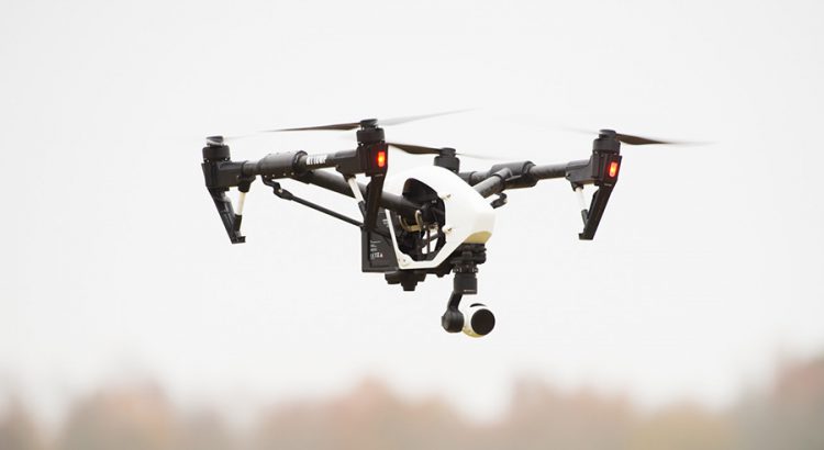
N.C. Drone Summit Returning to Greensboro in August
Greensboro will again be the center of the drone world as the N.C. Department of Transportation’s NC Drone Summit and Flight Expo (NC Drone SAFE) returns to the Piedmont Triad this summer. The three-day summit will be held at the Grandover Resort and Conference Center in Greensboro from Aug. 11-13 and feature speakers, exhibitors and […]
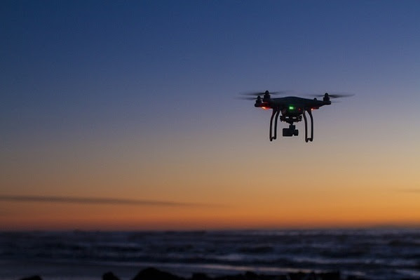
Atlanta, “No Drone Zone” During Super Bowl LIII
The airspace around Mercedes-Benz Stadium in Atlanta is a “No Drone Zone” for Super Bowl LIII, on Feb. 3, 2019, and during three days leading up to the event. The Federal Aviation Administration (FAA) will establish a Temporary Flight Restriction (TFR) on game day that will prohibit drones within a 30-nautical-mile radius of the stadium […]
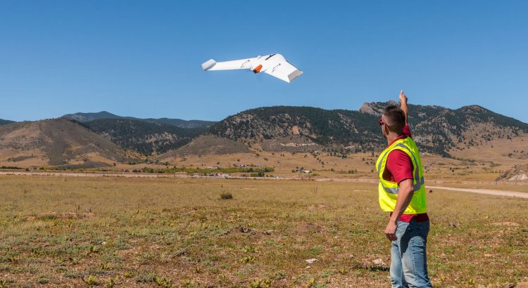
Delair Expands Drone Repair and Maintenance Operations to US
Delair has announced the expansion of its customer service operations with the qualification and opening of its first two repair and maintenance centers in the US. Delair has partnered with Frontier Precision and Seiler Instrument, both experienced drone resellers and service providers, to provide comprehensive customer support for its Delair UX11 advanced mapping and surveying […]
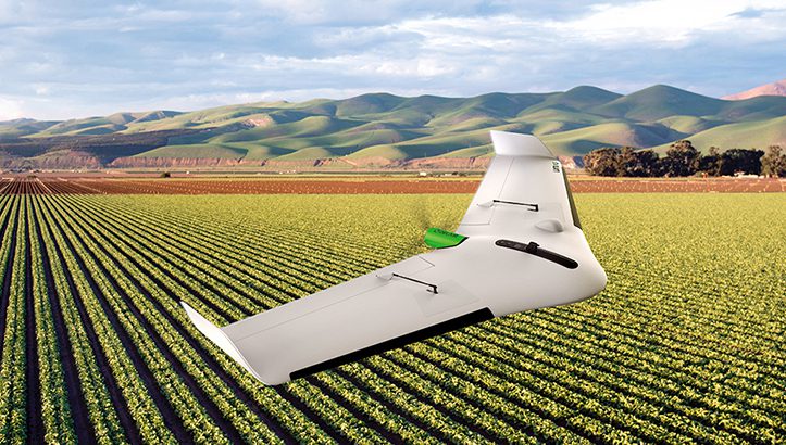
Delair Announces Interoperability of High-Precision PPK Drone Data
Delair, has announced the interoperability of high-precision data acquired from the Delair UX11 drone with version 5.0 of the Trimble Business Center software. The integration enables geospatial professionals to simply drag and drop Delair UX11 PPK data directly into Trimble Business Center projects. Users can combine the high-quality flight data with other sensor data to […]
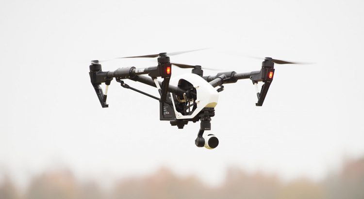
New Pennsylvania Drone Law in Effect
A new drone law that passed in Pennsylvania and signed by Governor Tom Wolf back in October has gone into effect. The new law protects the personal privacy of Pennsylvanians and will prohibit any municipality passing an ordinance to regulate unmanned aircraft systems. “The new drone law is the first law in Pennsylvania related to […]
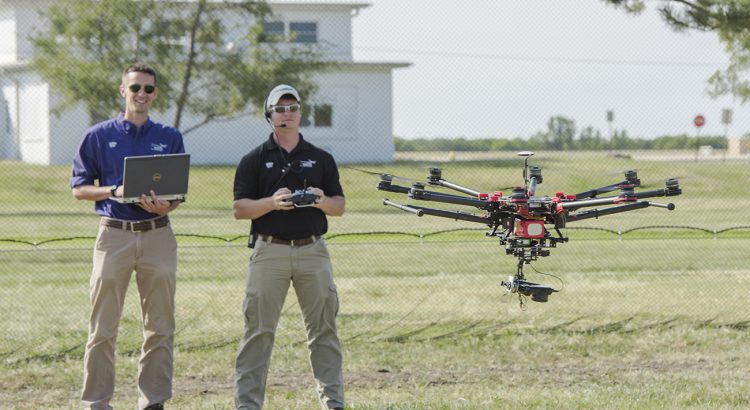
Kansas State Polytechnic offers free drone tips webinar and live question-and-answer session
Kansas State University Polytechnic Campus is offering a free webinar and live question-and-answer session with UAS experts to discuss important safety practices, flying rules and regulations, and tips for operating your UAS. Unmanned aircraft systems, more commonly known as drones, are both popular gifts over the holiday season and a widespread hobby for flying enthusiasts. […]
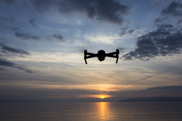
FAA Seeks New Drone Advisory Group Members
The Federal Aviation Administration (FAA) has posted a notice in the Federal Register soliciting qualified candidates to serve on the Drone Advisory Committee (DAC). The committee provides an open venue for the FAA and stakeholders to identify and recommend consensus-based resolutions for issues related to integration of unmanned aircraft (UAS) into the National Airspace System. […]