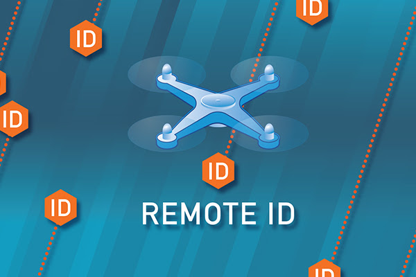
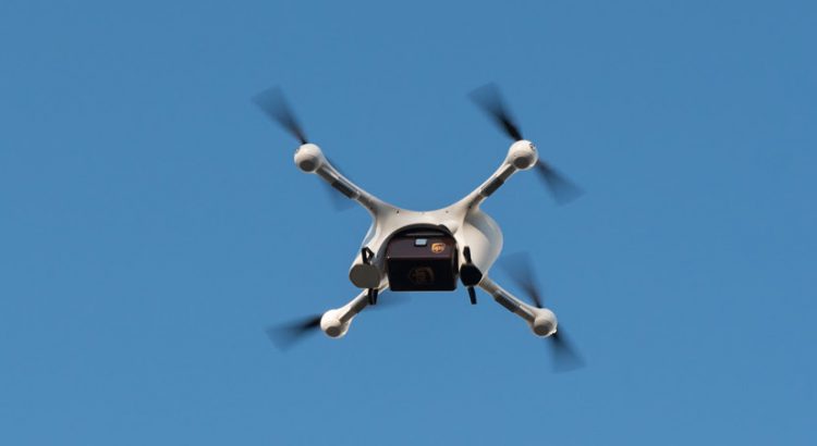
The U.S. Department of Transportation’s Federal Aviation Administration (FAA) has announced a proposed rule that would continue the safe integration of Unmanned Aircraft Systems (UAS), commonly called drones, into the nation’s airspace by requiring them to be identifiable remotely. “Remote ID technologies will enhance safety and security by allowing the FAA, law enforcement, and Federal […]
Unmanned Systems
Unmanned Systems


PrecisionHawk Raises $32 Million to Advance Next Phase of Growth in Commercial Drones
PrecisionHawk, Inc., today announced a $32 million investment from venture investors including Millennium Technology Value Partners, Third Point Ventures, Eastward Capital Partners, and others. The financing will fuel continued innovation in PrecisionHawk’s software tool, PrecisionAnalytics that uses artificial intelligence/machine learning, to help enterprises better utilize data collected by drones to solve business challenges. The financing […]
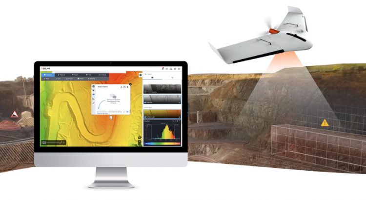
Stampede to Distribute Delair UX11 Drone in U.S.
Stampede, headquartered in Amherst, NY, has announced that it has been appointed to serve as a United States distribution partner by Delair, a leading provider of end-to-end visual intelligence solutions that enable enterprises to capture, manage and analyze their assets and turn the collected data into valuable business insights. The agreement enables Stampede to offer […]
RTCA Announces New Special Committee on Counter-Unmanned Aerial Systems
RTCA, Inc. has announced the establishment of a new special committee on Counter-Unmanned Aerial Systems (C-UAS). This new committee of industry and government experts is being established to support the safe and harmonized implementation of C-UAS into the national airspace system. The scope of this activity will be focused on developing consensus documents that detail […]
Drone Stakeholders Will Help the FAA Develop the Recreational Drone Flyer Test
The FAA says it loves that the drone community is growing so quickly. In a recent release, the agency said the recreational drone flyer test will be an important opportunity to educate recreational flyers about the rules of the sky as they continue to safely integrate drones into the nation’s airspace. A law passed in […]

Drone Wars: Is TSA Seriously Going To Shoot Down Drones Over US Airports?
By Jeffrey C. Price On July 17 of this year, police responded to a drone with fireworks attached to it discovered on top of a building in downtown Los Angeles. Further details have not been released about the incident, but it does represent just one of the many threats drone operations can represent to airports, […]
NCDOT Drone Program Wins Cleantech Innovation Award
The North Carolina Department of Transportation’s (NCDOT) innovative drone program has earned another award, this time for the use of drones to deliver medical supplies and the positive environmental impact the initiative will have in the future. The Cleantech Innovation Awards was organized this year to recognize and honor the individuals and organizations driving cleantech […]
Expecting a Drone This Holiday? NCDOT Reminds Operators to Fly Safe and Legal
Expecting a Drone This Holiday? NCDOT Reminds Operators to Fly Safe and Legal Drones are a popular holiday gift, but it is important that new drone owners take time to know how to safely fly an unmanned aircraft. More than 30,000 North Carolinians now own and operate drones for recreational use. With this number growing, […]
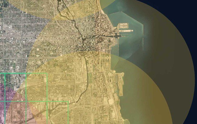
Helios Visions Releases Guide to Flying Drones in Chicago and Illinois
Aerial Drone Services Company Helios Visions has recently released a complimentary Guide to Flying Drones in Chicago. This guide was created to inform seasoned drone professionals, as well as drone enthusiasts on the best practices for safely and legally operating drones in Chicagoland. To create the guide, Helios Visions retained the services of Dr. Ryan […]
WavDrone to Begin Flight Testing at Griffiss Airfield
WavDrone, Ltd. a wholly-owned subsidiary of Universal Power Industry Corporation has announced that they will begin comprehensive flight testing of its carbon-nanotube drones and drone intercept technologies at Griffis International Airport, formerly Griffiss Air Force Base in Rome, N.Y. Griffiss International Airport is one of just seven FAA-designated Unmanned Aerial Vehicle test sites in the […]
